Tech-Driven Development, Key to Saving Sundarbans
During times of disaster in the coastal areas, the Sundarbans stand as
a shield. Cyclones like Sidr, Aila, or Amphan have saved millions of
lives behind this green barrier. The world’s largest mangrove forest is
not only a sanctuary for wildlife but also a lifeline for human survival.
Yet, due to encroachment, pollution, and the impacts of climate
change, it now faces severe threats. Without immediate and effective
intervention, this global heritage forest and the safety of coastal
communities are at risk. Sustainable strategies are urgently needed to
conserve and develop the Sundarbans.
Beyond safeguarding lives during disasters, the Sundarbans function
as the nation’s lungs, providing oxygen to the entire country. It is the
largest single source of the country’s forest resources. Many industrial
products—from furniture and newsprint to thatch, hardboard, and
boats—are sourced from the Sundarbans. The government also earns
substantial revenue from honey, golpata (palm leaves), fish, and
nearby tourism areas.
Discussions on protecting the Sundarbans gain momentum
immediately after disasters. Imagine if it were located in a developed
country! Technology, planning, and community participation would
work together proactively, well before a natural disaster. Satellites,
drones, and sensors would monitor the forest and river systems in
real-time. Investment would go into planting new mangroves in
affected areas, restoring riverbanks, and expanding protected zones.
To preserve biodiversity, all types of industrial establishments near
the forest would be prohibited.
Local communities would be actively involved in forest management
and monitoring. Alternative livelihoods such as eco-tourism,
sustainable fisheries, and forest-based enterprises would ensure
economic security for residents. Laws and regulations would be
strictly enforced. Technology and data-driven surveillance would curb
illegal logging, encroachment, and pollution. Alongside government
action, international cooperation and scientific research would ensure
the Sundarbans’ sustainable protection. Can we not safeguard this
world heritage forest in the same way?
Bangladesh is a land prone to natural disasters, facing multiple
calamities every year. The Sundarbans are the country’s ‘mother,’ and
Bangladesh is her ‘child.’ During severe disasters, the forest sacrifices
itself to protect the nation. In southern Bangladesh, during cyclones,
floods, and riverbank erosion, the Sundarbans act as a natural defense
wall. The complex structure of mangrove roots and trunks reduces the
force of incoming waves. For instance, a 56-meter-high wave from
the sea loses nearly half its height as it passes through the forest.
Mangrove roots anchor soil along riverbanks and the coastline,
reducing water pressure and slowing erosion, thus protecting homes,
farmland, and biodiversity. Sediments accumulate, forming new land.
The Sundarbans not only resist natural disasters but also assist post-
disaster recovery.
On 15 November 2007, Cyclone Sidr struck with winds of 220–250
km/h. Around 30–35% of the forest was destroyed, countless wild
animals perished, waterlogging increased, soil salinity hindered tree
growth, and honey production centers were destroyed.
On 25 May 2009, Cyclone Aila, though less intense, brought heavy
rainfall and flooding. High salinity entered the forest’s rivers and
canals, persisting for 2–3 years, disrupting aquatic biodiversity and
tree growth. Tiger and deer habitats were flooded, pushing wildlife
inward and intensifying human-animal conflicts.
On 10 November 2019, Cyclone Bulbul crossed areas adjacent to the
Sundarbans with winds of 135–150 km/h, damaging approximately
5,000 hectares of forest. On 20 May 2020, Cyclone Amphan struck as
a category 5 storm—the strongest in two decades—with winds
reaching 260 km/h. About 200,000 acres of forest were damaged.
Trees were uprooted en masse, habitats were destroyed, water salinity
rose, and food scarcity for tigers and deer increased. Collectively, the
forest’s natural defense system weakened.
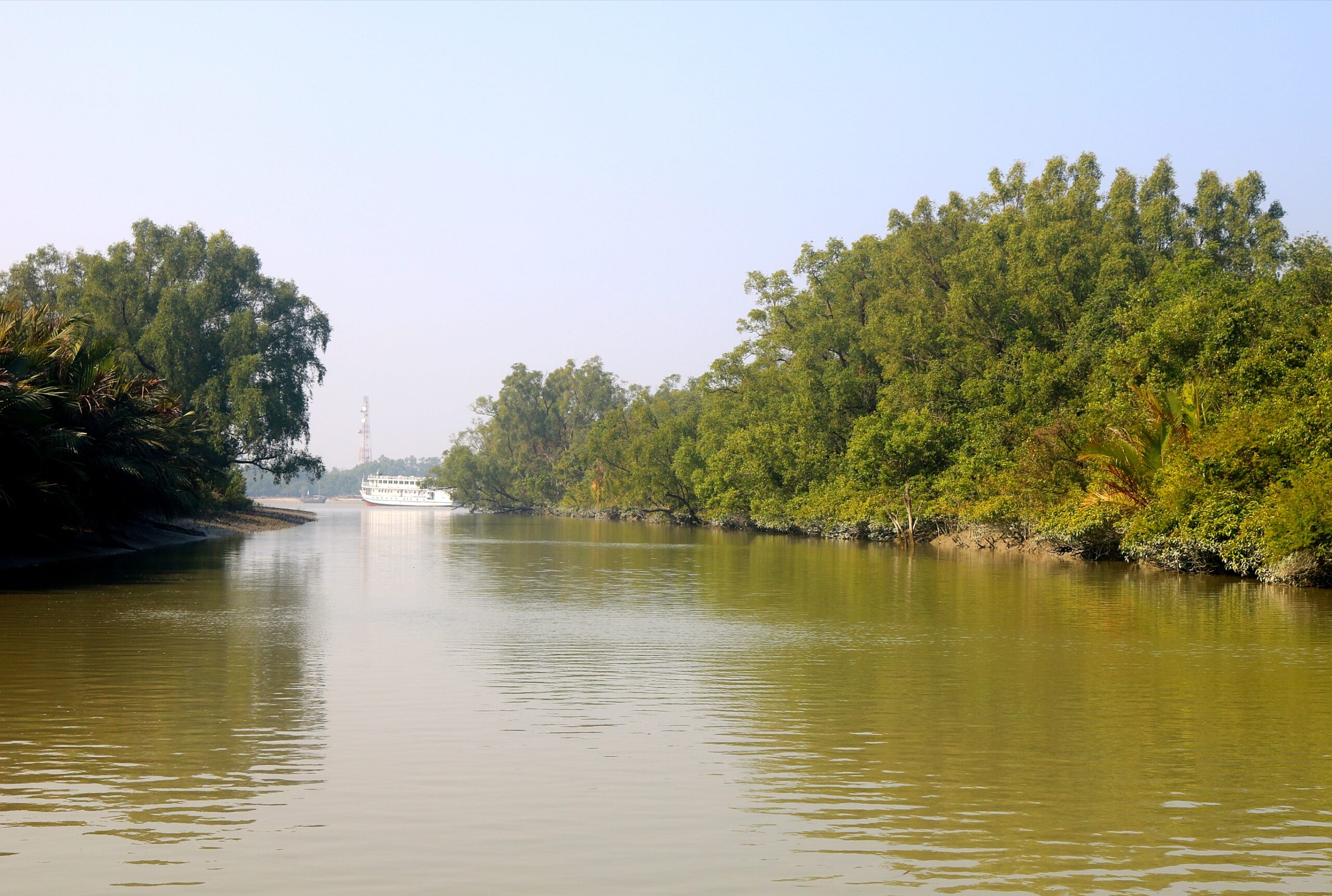
The Sundarbans is the world’s largest contiguous tidal mangrove
forest, spanning nearly 10,000 sq km across the deltas of the Padma,
Meghna, and Brahmaputra rivers. It covers parts of Khulna, Satkhira,
and Bagerhat in southwestern Bangladesh and northern-southern 24
Parganas in West Bengal, India. On 6 December 1997, UNESCO
recognized the Sundarbans as a World Heritage Site. After British
rule, two-thirds of the 10,000 sq km forest fell within Bangladesh, the
rest in India. Of the 6,017 sq km of forest in Bangladesh today, 4143
sq km (69%) is land and 1874 sq km (31%) is water bodies. Two
centuries ago, this area was around 16,700 sq km; natural and human-
induced factors have reduced it to roughly one-third of its original
size.
Protection discussions must begin not only after disasters but also
well in advance, through a well-planned master plan. This plan should
integrate modern, technology-driven, sustainable strategies for both
the forest and community resilience. Such measures will protect
invaluable biodiversity and ensure the safety of coastal populations,
offering shelter from disasters. Preserving the Sundarbans is
synonymous with safeguarding future generations.